
For almost 13 years, a strategic arrangement between INVEMAR and the National Hydrocarbon Agency of Colombia has allowed the continuous collection of data and information on the marine environment. Baseline studies of 19 exploration areas include at least the description of the atmospheric, oceanographic, and geospheric component and the classification of biological communities associated with both the water column (phytoplankton, zooplankton, and ichthyoplankton) and the ocean floor (benthos) following standardized methodologies. The area extent varied as well as the weather regime sampling. This information is essential to promote and execute future offshore gas and oil-oriented activities.
In 2019, the collaboration focused on reviewing and making a diagnosis of the information needed to support the environmental licensing process. The improvement of the original web page and the geographic viewer was one of the primary objectives of the research project. Sharing and visualization of the marine information collected between 2007 and 2018 gathered from 16 expedition cruises, navigating 17.737nm, and reaching box core samples up to 4220m deep.
User experience was the most crucial issue to resolve in terms of visualization and consultation of the data, both spatial and documentary. A simplification of the web page navigation tree resumed access to the baseline projects, the geographic visor, the research cruises, methods, and updated description of the people involved in the process. Navigation and search capabilities for documents, reports, and complementary material such as audio and videos improved when the Content Management System (CMS) was updated and the user experience restructured (Liferay 7.2.)
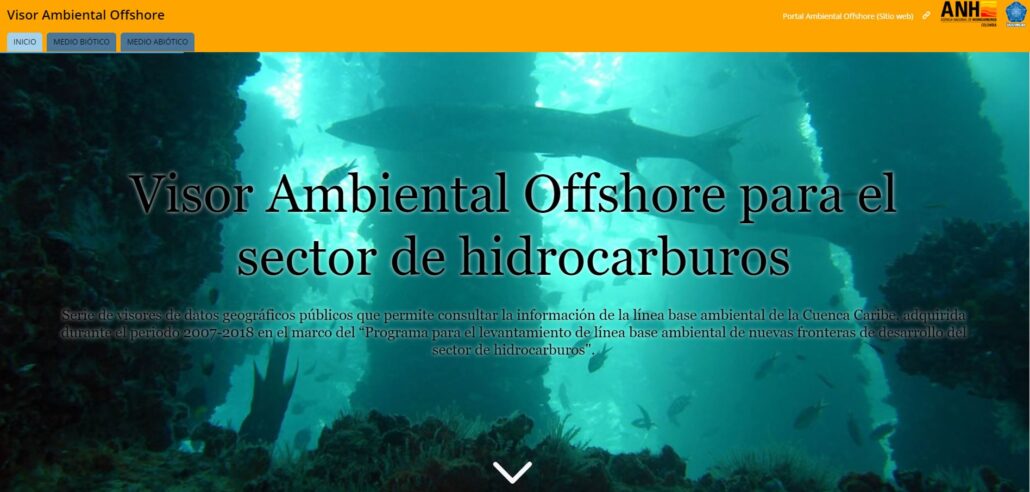
The purpose of redesign the geographic viewer called “Visor Ambiental Offshore” was to provide the spatial information through interactive maps, using new platforms and technologies of visualization offered by ESRI. These new technologies allowed communicating the marine information in a language understandable to the user. The reformed viewer has 27 inner geographic viewers divided into the biotic and abiotic environment, allowing the registry of the planktonic, benthonic, and pelagic communities of the Colombian Caribbean, as well as fisheries resources records. Moreover, the updated version describes, for the first time, the distribution of cultivable microorganisms among sediment bacteria and fungus. The abiotic component gathers the geomorphological, sedimentary, and oceanographic descriptions of the areas. Water and sediment physicochemical, nutrients, and organic metal components records are included. The web portal and the geographic viewer were released in December 2019, and it is available for public consultation. Raw data can be obtained by complying with the Environmental Data Access and Use procedure of INVEMAR.
The articulation of ongoing and future marine data from strategic environmental assessments, environmental impact assessments, and monitoring from environmental management plans generated by the offshore hydrocarbon sector is conceived to become the primary source of information for planning activities offshore.
Web site: http://anh.invemar.org.co/
Geographic viewer: http://anh.invemar.org.co/visor
Access and data use request: http://www.invemar.org.co/web/guest/acuerdo-de-acceso-uso-a-datos
Contact details: Julián Pizarro / Julian.pizarro@invemar.org.co
Authors: Venus Lorena Rocha, Claudia Correa-Rojas and Martha Vides
Instituto de Investigaciones Marinas y Costeras, INVEMAR
[Appeared in POGO Quarterly Newsletter Issue 41: August 2020]